Plant and Industrial
3D laser scanning and plant modelling, piping isometrics, equipment GA capture, vessel deformation reports and construction surveys on plant.

Cape Town · Since 2001
CGS provides precise as-built surveys for construction, mining, architecture and industrial plants across Southern Africa, with 3D modelling and data analysis delivered worldwide.

About CGS
We specialise in structural surveys for industrial and mechanical projects on construction sites, chemical plants, mines and ships.
We use modern survey techniques such as 3D laser scanning (LiDAR), and regularly carry out as-built building surveys (BIM) for architects. We are also 3D modelling specialists, precisely modelling objects for reverse engineering, product development and prototyping.
Based in Cape Town, we carry out physical survey work across Southern Africa, and deliver data analysis and 3D modelling to clients worldwide.

Services
Every project is controlled with precise survey techniques, and all work is approved and certified by a registered professional.
3D laser scanning and plant modelling, piping isometrics, equipment GA capture, vessel deformation reports and construction surveys on plant.
Solid and surface models from scan data for CNC tooling, mould making and product development, plus comparison of as-built objects against design.
As-built surveys of existing buildings for upgrades and extensions: Revit BIM models, scale plans, elevations, sections and terrain models.
Road and construction surveys, stake-out, precise engineering surveys, crane rail alignment, terrain models and deformation monitoring.
Property boundary surveys, subdivisions and consolidations, sectional title amendments, servitudes and land surveyor's certificates.
LiDAR scanning of film sets for VFX, cast scanning, props and vehicle scanning, and HDR texture photography.
Visit CGS FX →Selected projects
A few examples of our work, from land speed record tracks to mining vessels and hypercars.
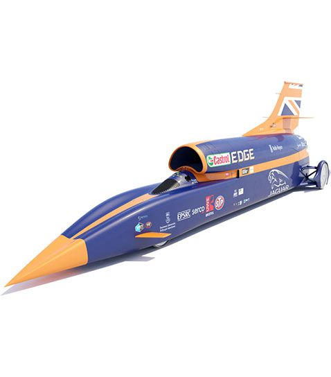
1 m grid · 16 km × 900 m
Digital terrain model of the land speed record track at Hakskeenpan, from precise levelling and mobile laser scanning.
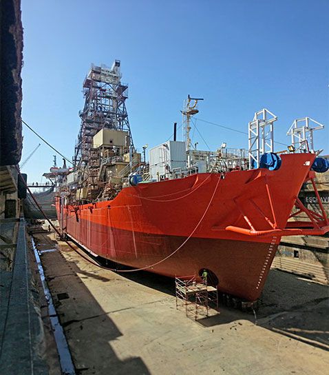
Precision better than 0.7 mm
Precise as-built survey of a new carrier body, certifying it was within tolerance before it left the factory. The fit-up was a success.
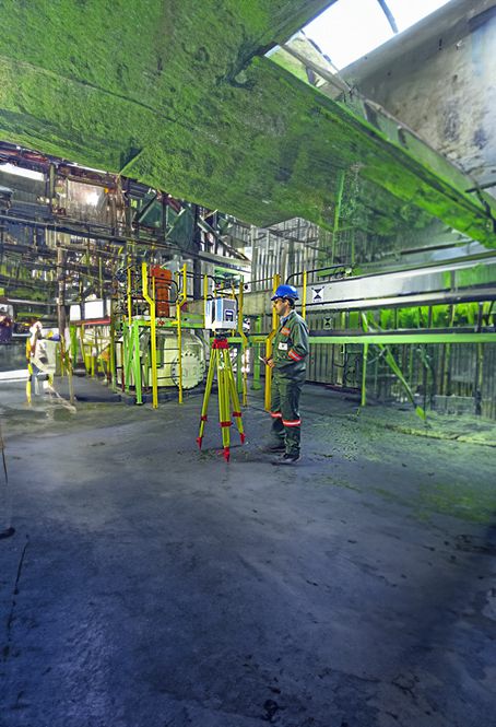
Scans registered to 2 mm
Laser scanning and 3D modelling of piping, steelwork, equipment and utilities, modelled to a 5 mm standard deviation.
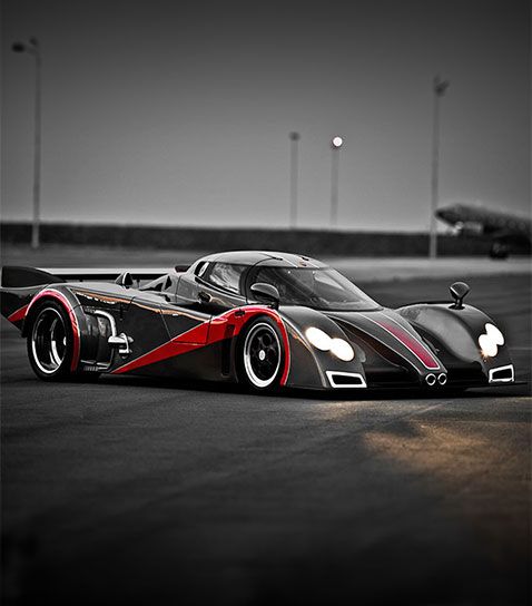
LiDAR · Surface modelling
Laser scanning and surface modelling for carbon fibre tooling, so parts can be reproduced accurately and efficiently.
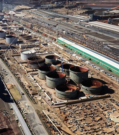
API 650 · In-house software
Deformation analysis of newly built tanks from laser scan data, reporting deviations against the API 650 standard.
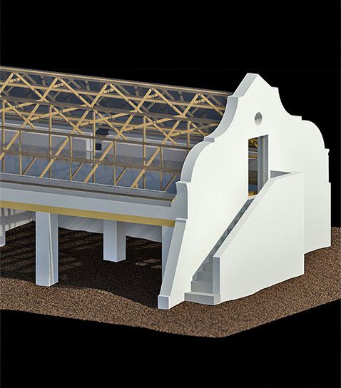
BIM · Architectural renovation
3D scanning of a heritage building inside and out, giving the architects an accurate model to plan the renovation.


We are registered with the South African Geomatics Council (SAGC) under the Geomatics Profession Act 19 of 2013, and are proud members of the South African Geomatics Institute (SAGI).